


15,4 km | 20 km-effort


Utilisateur


Application GPS de randonnée GRATUITE
 SityTrail
IGN / Instituts géographiques
SityTrail World
Le monde est à vous
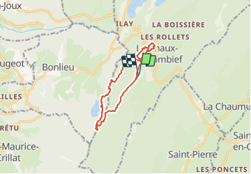
Randonnée Marche de 11,2 km à découvrir à Bourgogne-Franche-Comté, Jura, La Chaux-du-Dombief. Cette randonnée est proposée par daniellebou.
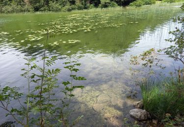
A la fin du sentier des Cairns, suivre balisage bleu et vert (ronds) et ensuite balisage vert jusqu'au lac de Bonlieu. Beaucoup de chemins dans les bois sur le terrain ne figurent pas sur la carte donc il est important de bien suivre le balisage vert jusqu'au lac de Bonlieu qu'on quitte ensuite.

Marche

Marche

Marche

Marche
Marche

Marche

Marche
Marche
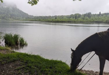
Randonnée équestre